An object continues to remain at rest unless acted upon by a force.
Sir Isaac Newton in his Philosophiæ Naturalis Principia Mathematica
…little I was aware of, when I learnt this classic mechanics’ law that, it’s valid in your life too. You continue to remain in the state of rest, comfort zone, unless you feel the force.
Circa, 2018 : Remote village named Ghanghria in Uttarkhand. We were returning back from our first long Himalayan trail. I went on the trip, as a casual break from regular work. But the magnificence of the mighty Himalayas has provided such a huge thrust, that we all moved. Spellbound. This was not going to stop and we have to continue our Himalayas visits in future. And what could have been better than Sagarmāthā, the “goddess of the sky” herself as a challenge.
To quote an old saying I’m on The Hunt for Who I’ve Not Yet Become.
Inertia – down and dusted:
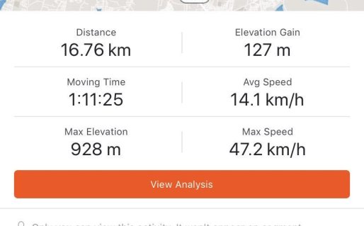
Benjamin Franklin said, if you fail to prepare, you are actually preparing to fail. A high altitude trek on rough terrain requires a lot more than regular picnic preparation. One needs a fair amount of mental and physical endurance in high altitudes. I am not comfortable in running long distances or duration. So I moved to cycling. I started commuting to office on cycle. An average day included 35km and 2 and half hours of cycling, to and fro to office. ( That is less than the time taken to commute by car in Bengaluru)
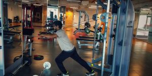
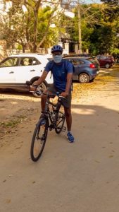
In addition, me and my friend Nitesh spent sometime playing badminton or hitting our office gym.
Team
When myself and Nitesh, decided to see Everest, TrekNomad, was our first choice. Naveen and his team at TrekNomads are dedicated to the cause of helping amateur climbers scale new height. Literally. They came up with a detailed plan, and we were altogether six of us (Myself, Nitesh,Naveen, Anushya, Priya, Ibrahim) confirmed for the trip.
While our scheduled plan had a few deviations here and there, I will highlight these in my later blogs. To understand the detailed plan of our trek to Everest Base Camp + Gokyo Ri, click here.
Route covered:
Below is the route overview that we covered in the trip. KML version of trip was created by Nitesh.

And the Journey Begins…
We started with a flight to Kathmandu. With an overnight stay at Kathmandu, we left to Lukla in the morning.
We were joined in Kathmandu by Raj (our local Guide), Pawan (Nepal Partner for TrekNomads) and Prateek (who directly joined the team from Sholapur). So we were all together 9 for the trip.
A glimpse of our flight to Lukla from Kathmandu:
Journey Begins: Lukla to Phakding


After much of flight delay, we were airborne. I think ride was more of interesting than scary. Everyone was busy taking enjoying the picturesque view outside, or taking pictures (of view or of the small open cockpit). And in an hour we landed at Tenzing Hillary Airport.

If you check the trail map of EBC route, Phakding is at an altitude lower than Lukla. Hence the walk was supposed to be a moderate walk, with climb in between
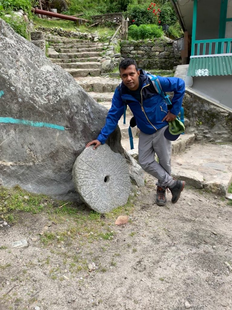
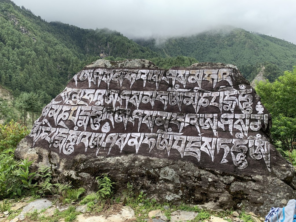
However, the walk sets the agenda for what in store for coming days. As we pass through the narrow streets of Lukla into pathways of hills, we come across excited kids, colourful shops and the yaks walking through the streets with their ever tinkling bells. Prayer wheel or Mani wheel (Tibetan: མ་ནི་ཆོས་འཁོར), Daal Bhaat, Mani Stone, stream, waterfall, hard working porters carrying huge weight of supplies to mountains- route has everything that will be the sight for coming days.
We had our share of rest when we broke for lunch. Lunch was traditional (?) Bhaat (rice), Daal, Aaalo ki Sabzi.
We reached Tok-Tok (in Phakding by evening) for day 1 break. Important to note that Phakding is the last stop, on EBC route where you will get free mobile charging. Mobile charging will cost you around Nepali Rs 200 to 400 from here onwards (with few exceptions). So make sure all your power banks, mobile, devices are charged (off course, if you are not carrying a portable solar charger)

The dinner had a mandatory Garlic soup for everyone (which became a regular dinner item on each night). The locals think garlic soup can help with headaches and altitude symptoms. Even back home, in my hometown, elders do believe garlic helps in tiredness and body aches. (BTW, do check WebMD for side-affects or consult your doctor for any allergy-related to garlic.)
Brief summary :
- Mobile Network : Check
- Wifi Network : Check
- Difficulty Level : Moderate
- Issues faced : None
- Steps (as per app) : 19,942
- Distance : 12.5km
- Flights Climbed : 48 floors
Route map (Google) :
Journey 2: Phakding to Namche Bazaar

6:30 Breakfast, 7 0’Clock we leave. That was what Raj, our trip guide briefed the night before. And there we were, in the dining area right on time. Today’s walk time was going to be double than yesterday‘s walk with an altitude gain of approximately 800m. Target for the day was Namche Bazar, a trade hub and important town of Khumbu region.
Today we saw the first snow-capped peak of the trip.


We officially entered Sagarmatha National park. Raj took care of the bureaucratic formalities of ticket and other permissions.
As we continued on the banks of river Dudh Koshi the weight carrying porters continued to awe us, by their sheer strength and ability to climb up with huge amount of weight on their back.

We had a pit stop after around two hours of walk. (This was going to be part of usual schedule in coming days. Start → Tea Pit Stop → Lunch → EOD). Ginger Honey tea was going to be a regular drink, along with garlic soup. It has amazing rejuvenating impact on your body
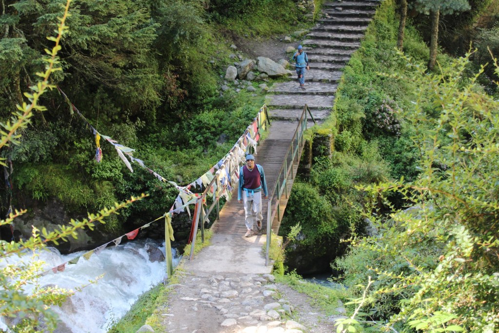
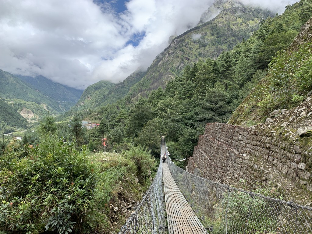
The route has a series of suspension bridges, including the iconic Hillary bridge (also featured in movie Everest) at the confluence of the Dudh Kosi and the Bhote Kosi.
Nitesh captured our crossing of bridge (and it took around one and half minutes to cross the entire bridge)

As we walked across the forest, the energy level didn’t seem to fade during the walk.
The routes had mix of steep rock stairs, plain walk, and then steep climb in the end to Namche Bazar. Needless to say, the trail is picturesque and greenery was still around. (Which will deplete as we climb up).


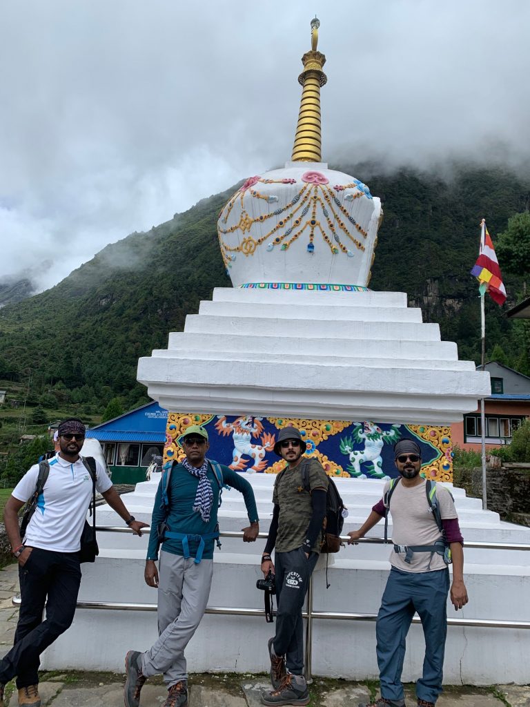
Not to forget stupas and Mani stones.
And finally the site of Namche.

We reached Namche by 2:00 PM. Well as a group, we actually reached in range of 2:00 PM to 3:30 PM depending on speed of each member. Since the route was straight forward, we split in pairs of two or three, depending on members speed and reached at our own pace. That is very important aspect that. Do not overspeed your limit, lest you may get tired, cramps and may hamper your entire trip. So do not, do not get carried away by the fastest member of the group. Maintain your speed, but don’t go too slow. Keep the target to reach the destination before 4.
Trek Summary:


Journey 3: Namche Bazar to Phortse Tanga
Climb to Namche tested fitness level of few in group. A day break for acclimatisation was a refreshing break. It was much needed break, as it gave us time to pull up the socks, recollect the motivation that has brought us this far. Namche Bazaar is a thriving Sherpa town and has been classic stopover for acclimatisation. The Sherpa capital has two museums, several internet cafes, bakeries and more. Make your stay count by discovering the area and taking up a hike or two to Everest View Hotel and Museum. And RELAX. Then start again 🙂
Acclimatisation Day
We started our day by climbing up to the stairs to Sagarmatha national park museum.

You enter the park and see a massive bronze statue of Tenzing Norgay – the first Sherpa to summit Everest supporting Sir Edmund Hillary.

The park is the place from where we got glimpse of first 8000+ peak, Lhotse. statue is from where we saw the first 8000k (How many 8 thousander peak are there in the world? ).

And while everyone was busy clicking pictures, we got our first glimpse of EVEREST herself. I can sense a lot of excitement seeing the EVEREST. However, cloud was a quick spoilsport, and we couldn’t take our first picture with Everest. Nevertheless it was a totally different feeling. (It is just left to Lhotse) . None of us would have realised what just unveiled from under the cloud cover, until Rajendra, our guide told us.
We spent some time clicking our photos/selfies at the museum and descended.

Walking to museum, you can see a distant school. What we were considering as “acclimatisation” trek, was the daily routine of these kids. JUST AWESOME.

We then started climb to Everest View Hotel, hoping to get a better view of Everest. However, Your Plans Are Not Yours, Nature Decides. The visibility reduced drastically and entire view was covered by clouds. We climbed up but couldn’t get a better view.


Hence we returned back by noon to spend time in the by lanes of Namche Bazar.


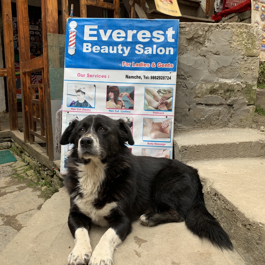
By evening we were all back to hotel, to have a good sleep, as next day we were up for Phortse Tanga. It’s this day, when we will deviate from “standard” EBC trail route to Gokyo. (Ref map below). We will head to Maccherma, with a night stay at Phortse tanga, while regular route directly goes to Tengboche.


Next day, trek to Phortse Tanga

As been usual routine, we started off early for our day.
Next day, we climbed up to same place out of Namche, where we climbed yesterday. Post that the long and very scenic traverse up the valley of the Dudh Khosi starts. For record, the initial route, running along the seeming endless ridgeline leading out of Namche, is relatively flat and easy-going.

On our walk way, we met a very old woman in the middle of the trail. She bad a donation box and message written in different languages. Apparently it seems, her family was maintaining the trail route all by herself and donation was meant to go towards maintenance of the trail.
In the route amazing views of Ama Dablam, Everest, Lhotse, Thamserku and other snow peaks keeps motivating you as you pass stupas along the way.


We can also see the melting snow/ice from those mountains


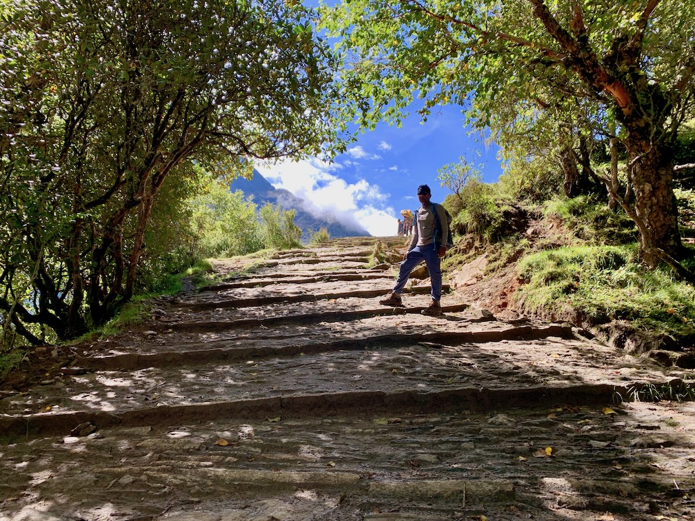


At Phortse Thanga, as we start, we see that the route separates to Phortse and Dole. We have to take left for Dole, and that route takes us to Gokyo.

Google’s 360 degree view of location from where we started :

Well important to note is that mobile network stops working (or works unreliably bad) from here onwards.
As we started the day, we get passed Dole Post and continued into alpine forest of fir, rhododendron, birch, alpine bamboo, pines in between Phortse Tanga to Dole. The trail is mostly gradual up through this alpine forest.
Our porters who started late, were fast enough to get past us quickly.

There were quite a few water falls in the way.

A walk without any lighter moment makes it a mundane activity.

We continued on the uneven rocky track, to reach Dole in around 2 and half hour.

From Dole, it’s a steep climb through scrub junipers to Mt. Lhaparma 4,329m. We will pass the small settlement of Luza and continue to hike through the valley to Machhermo. The views of Mt. Cho Oyu, Mt. Cholatse and other peaks are majestic. We had a lunch break at “Paradise” Lodge at Luza and post that, crossed a stream to climb up the hill again.

To reach Machhermo, we have to cross, one hill after another and quite a few pasture land is also seen in the later part of trek.


And finally the guesthouse and its heating oven.


A brief note on tea-houses oven which keeps the tea-houses heated. Mainly the dining area of these tea-houses. In the Sagarmartha National Park there are strict rules about the burning of wood. This whole area has suffered massive deforestation over the years and the burning of wood is not only forbidden, but there’s probably not enough to go around. These stoves, are fuelled by dried Yak dung and is vented ok, so that the room doesn’t fill up with smoke.
And this is how the map trail looked like:

Things are going to be more interesting from today onwards. We are into the four best days of our trekking route. And that starts with spectacular views of oligotrophic Gokyo lakes. And soon we are going to break 5000m threshold.
The morning at Machermo gives a good sight of the peaks nearby. It was bright morning to start with (which turned into cloudy, in later part of day).

Day starts with a brief climb out of Machermo into a long and gradual climb through open country.

As we walk the trail gets higher and more rocky.
Look at those climb. They take you high. Beyond the clouds.
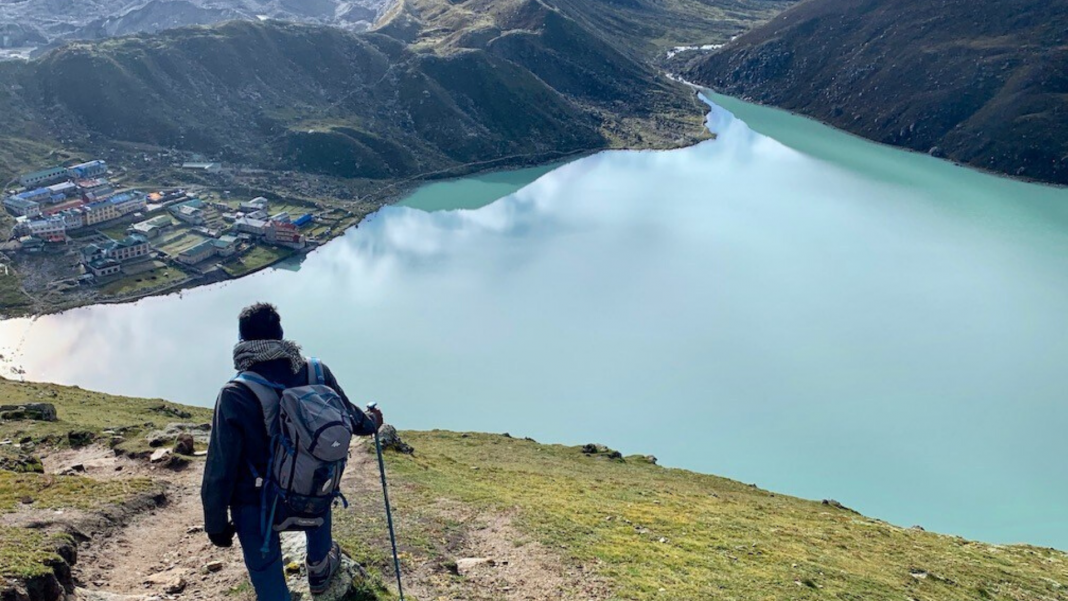
Finally topping the rise, we saw the first of five Gokyo Lakes.


The lake is smallest of the five. Still, it holds its beauty. Tranquil turquoise lake reminded me of Pltivice lakes from Croatia. The rocky path continues as we cross pass the beautiful lake.
Soon we reached the 2nd lake of the pentalogy of lakes, bigger and equally beautiful. And who will let go an opportunity to detox oneself in such a stress free environment. I had my go to relax. Right on the lake 🙂

The lake is full of Cairns.

As we look way forward, their is no end to rocky terrain

The porters had their share of well deserved rest as well.
As we cross the lake, we had a brief Yoga Session.


Soon (well not that soon), we arrived at the most beautiful of all the three lakes.

The excitement to reach the village of Gokyo (which is just above the third lake a short walk ahead) was so obvious and visible.


It became cloudy when we reached the village. So we moved in to the hotel to have our lunch. However, there were patches of bright light, post lunch. We strolled down to lake, as it was right in front of our guest house and spent some relaxed time.

While walking across lake, David (from another Trekking group) had plans of his lifetime. He proposed Ana, the love of his life for marriage. And it was accepted. Naveen had made their video made, and promised to email them back.

And soon clouds were back, we returned back to guest house. Tomorrow is going to be a big day. To climb up the Gokyo-ri peak. First of 5000+ peak.
But as this 6 cairns stand, right in Gokyo lake, they seem to represent all six of our trek partner. Standing tall and calm, braving the constraints our body put during the walk.


It was a difficult climb today and extra exertion from jumping between rocks as well as the lack of oxygen from the altitude made for an exhausting combination. Naveen, our TrekNomads leader showed the true leadership quality by helping out who were struggling climbing up those loose boulders.
The route map for today shall be as below
We started off early in the Morning when first light of day was only just appearing behind the plans. Raj, our guide informed that there are not going to be any teahouse till we reach Dzongla. And besides we have to cross the difficult summit pass Chola located at at 5,420 metres.

We started off along the steep rocky trail, following beside a small stream. Soon the sunlight hit the tops of the big mountains behind Dragnag, across the main valley. The sight was spectacular. It was another beautiful day in the mountains and it was great to be hiking.
After a fairly steep climb like below you could see a false summit up ahead on a ridge . It was barren terrain and a beautiful landscape which unveiled itself more as we climbed.
We had our share of eggs, that Raj was carrying 🙂

The top of ridge gives stunning panoramic view of some of the peaks.


The altitude gain you had made climbing up this ridge was now to be lost somewhat as we trekked down into the valley of a receded glacier. The glacier that was once here has left behind a tough landscape of rocks and boulders behind.We had to drop into the valley and cross piles of this glacial debris to reach the last slope up to the pass. It was ankle breaking stuff and one has to be very careful with my footing. It was hard work and it went on for some time.


Soon, we are at the base of the pass. Looking ahead the climb upto Chola pass summit, I knew this was going to be hard.

One slip could easily be fatal. There was very little room for error. And Raj, asked us to go slow – bistari, bistari he asked.
Taking each step very carefully and tried to follow the path up the slope, slowly zigzagging along the rock, you will have to use your hands as well to get you up at some steep sections. We were well above 5000 metres and had to stop often to catch our breath. The altitude didn’t help the already difficult climb and it was truly exhausting.


Eventually we came to the Cho La summit. At 5,420 meters it was the highest point we reached on the trip. Even higher than Gokyo Ri summit I did previous day. It was hard but the feeling of accomplishment was great. And the flag came out immediately.


The blue line is the approximate path, we had taken to cross it.

However, remember the pass itself was not much of a destination. We have to soon drop down on steep rock to witness a large glacier /snowfield to cross.
We descended a long way on the snow and had some time taking few photographs.

The joy. Nothing can beat this joy except for getting that months old bug getting fixed. Yeee!! 🙂

And the slide.

We descended a long way on the snow, carefully.

And we reached the deadend. Not in real sense but the route was blocked. Some one said there was an avalanche, a night before and that blocked the route. Whatever be the reason, the route was blocked and we were entering into the toughest walk of our day. Raj and Pawan went ahead to see if there are any easier route to take.
The path ahead had unstable and loose rocks and boulders. Mountain was all frozen and it was melting slowly. That made some of those rocks even more loose. Soon Raj found one rock. Though it was not completely firm, it wasn’t that loose either. He slowly climbed up the rock, and then asked to form a human chain. Naveen came forward to get the struggling ones first.
Finally we made it. Oh the joy.

One we crossed the area, it started to rain and we have to cross pass some slippery rocks. The rain had made the descend on those boulders, even more difficult.
Eventually, we reached the floor of the valley. It was hard on the knees whole day and knees were now grateful for the flat the valley ground. We still had a long way to go but now it was just walking on a trail, and downhill at that following the stream further down the valley. It was raining heavily and we were dying to reach Dzongla. It was raining so heavily that we were not able to see anything ahead. All of a sudden, we realised, we all are carrying passports and they are in our backpacks. Although we had put the rain cover on it, the rain was so heavy, the backpack was soaking some water from the sides. We were in no position to do anything about it.
We were constantly walking through the open field, filled with water. We were hoping, we will reach our destination sooner. We were already late by about two hours and getting really exhausted and hungry. After a really long descent we reached Dzongla by around 4 O’Clock. Around 10 hours of walk. What an eventful day it was. And we were dead tired.
Everyone first checked our passport. Except mine, everyone’s passport pouch was not wet. Means their passport inside was safe. Nitesh asked me to open the passport and check the pages of passport. Mine reply was : “Some another day. we already have enough shocks for the day. Can’t take one more. Let’s go for a coffee.“
Following song, captures perfect mood of the moment.
Successfully summitted to Gokyo Ri (5361 m/17588 ft) at 6:20 AM today.
The route that I am going to cover early morning before starting for Dragnag.
And the route of Dragnag was some thing like :
The night before, a couple of team members decided to give Gokyo ri summit a pass. They wanted to conserve all their energy. ( Dude? Energy is always conserved. No?) for EBC. Besides, crossing the Chola pass, the next day too was in their mind.
Hence it was Me, Naveen, Pawan, Prakash and Raj who signed up for the Gokyo summit. We gathered in the teahouse dining room at 3:30. Naveen, being the experienced climber, has already briefed me not to climb in haste. We have to maintain a steady pace, without running out of breath. After quick briefing, we started our climb at around 3:45 in the morning. It was pitch dark when we started. We had to cross a small river by stepping on the round, wet stones scattered throughout the water.
After about an hour and a half of climb, the sky was beginning to lighten and we could see the outline of the mountains behind us and more of the path in front of us. You expect to see the Everest, Makalu, Lhotse, Cho Oyu and others, right behind you.

It was just around two hours, but it felt like we have been walking since ages. Climbing to Gokyo Ri is strenuous as it is steep up. And there were more to go.
View on way was amazing despite it being clouded in the valley and up.


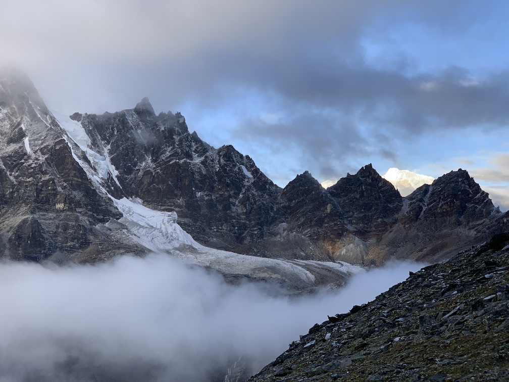

Soon the hard work paid. Making it one of the unforgettable day of my life. Cloud opened up briefly for few minutes giving us a good view of Cho Oyu.


And we started our descent and soon reached the guest house, to join the team for breakfast and left for Dragnag, with one final look at Gokyo lake.

As we crossed the first hillock, we see huge Ngozumba Glacier. It flows down from Cho Oyu and is the longest glacier in the Himalayas. The terrain is such that one has to be very careful while moving ahead, or they fear the risk of sliding down or twisting the ankle.
It is incredibly unstable, just rock and sediment that is ever changing as the glacier moves slowly along. Stones tumbled down as we walked and Naveen had just one instruction for us : Just get off, of it and onto the “safety” at other side of the glacier ASAP. All it would take is for one decent sized rock to dislodge and come tumbling down and it would all be over.


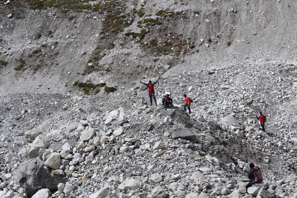


The terrain of the glacier was like walking through a giant gravel pit, and at times we felt like we are along with Vikram lander walking on the surface of the moon. Hills of grey rock and gravel stretched out all around us, carved up and crushed by the glacier. At times grey dust on which we walked was so fine that it was like talc, or “moon dust”. Nevertheless, the view of this walk was definitely panoramic.
This walk crossing Ngozumpa glacier is around three to hours of steady and careful walk.
Once you cross the glacier, you get flat walk with boulders in between upto Dragnag.
As we relax after our lunch, I look back at the day I can sense a mixed feeling of pride of achievement, relief at the effort, a strong feeling of immense privilege to have been permitted to pass among the giants of Nature unhindered; and to have a small inkling, finally, of why people climb mountains.
And that made me remember following lines from movie Zindagi na Milegi Dobaara, lyricist, Javed Akhtar
दिलों में तुम अपनी बेताबियाँ लेके चल रहे हो, तो ज़िंदा हो तुम
नज़र में ख्वाबों की बिजलियाँ लेके चल रहे हो, तो ज़िंदा हो तुम
हवा के झोकों के जैसे आज़ाद रहना सीखो
तुम एक दरिया के जैसे लहरों में बहना सीखो
हर एक लम्हे से तुम मिलो खोले अपनी बाहें
हर एक पल एक नया समा देखे यह निगाहें
जो अपनी आँखों में हैरानीयाँ लेके चल रहे हो, तो ज़िंदा हो तुम
दिलों में तुम अपनी बेताबियाँ लेके चल रहे हो, तो ज़िंदा हो तुम!
The trek over the Cho La Pass had left everyone of us tired and exhausted. And as I said, the last part of trek, we saw heavy rain. And myself and Nitesh realised that the mistake that we did while buying our gloves. The gloves were not at all water-proof and was of no use, once it started raining.

We all reached Dzongla, drenched. Prateek was so kind to help everyone with getting the wet cloths dried up in tea houses oven.
Just south of Dzongla, the dawn light was shining on the impressive north face of Cholatse. After finishing our breakfast, we were outside tea house admiring the fantastic view and taking pictures of those peaks.


And soon we started moving down from Dzongla.

After crossing a small bridge we continued on a grassy trail.
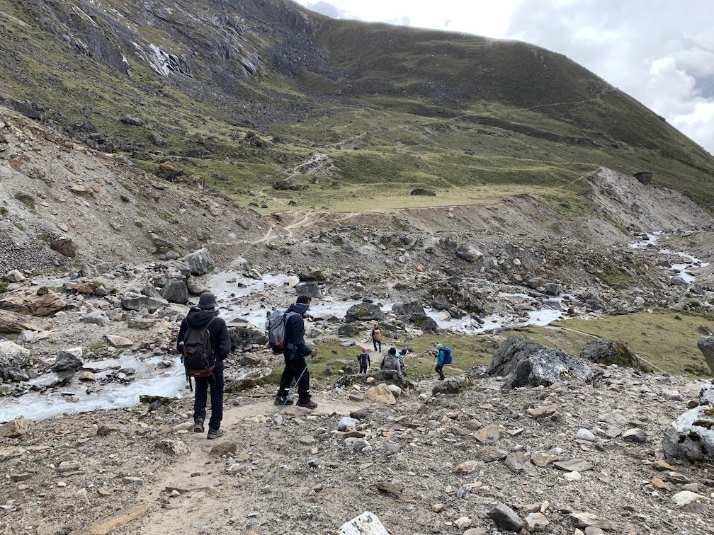
Enjoying the view of Lobuche Peak we stretch up eventually through a ridge. Further on, as we gained elevation, the blue lake of Cholatse Tsho appeared to the right, with the near vertical face of Cholatse and Taboche hiding behind the clouds. In Tibetan “Cho” means lake. “La” means pass. “Tse” means peak. So Cholatse is Pass Lake Peak.

Ahead a huge valley dropped below and spectacular landscape spread out with the iconic peak of Ama Dablam rising up above it on the other side. This valley is that of the Khumbu Khola, the stream that flows from the massive Khumbu Glacier which originates on Everest.


The walk stayed mostly flat and provided some nice easy trekking. One could see the main trail to Everest Base Camp on the other side of the valley. There’s a memorial on the main trekking route, for a somber reminder of all the tragedy in these mountains during climbing expeditions. We plan to visit it while returning back.
Soon our trail ended in the river bed which we had to cross, to join the main trekking route.

From there, it was a short trek up the valley following by the side of glacial moraine of Khumbu Glacier we reached Lobuche.
Here we Raj, our guide had a good discussion with all of us. Original plan was to trek upto Gorakshep. However, few of our team members were really struggling. And today was not even a difficult walk. He suggested that some of us must not proceed further as Edmund Hillary himself said.
Human life is far more important than just getting to the top of a mountain.
Edmund Hillary
Some of member whose oxygen content in blood was less, didn’t heed to team leader’s advice of taking Diamox. We all know that continuing to higher altitudes without proper acclimatisation can lead to potentially serious, even life-threatening illnesses. But as the saying goes:
At Athens, wise men propose, and fools dispose.
Alcuin
Then Raj came with other idea, tha we stay at Lobuche today and travel to Gorakshep tomorrow. And we climb up EBC/Kala patthar the next day. However I objected to this idea. Given the speed of the slowest member, I was sure that we would spend whole day climbing Gorakshep itself. So I was of the view to travel as per plan. (Anyway, the plan to summit Kalapatthar in evening was not looking feasible. However, at least we could have got whole full day tomorrow).
After much of discussions, we started. Unfortunately, health of another friend deteriorated. His heart rate was quite on higher side. He tried to push a bit further, but he made a wise decision. It was a brave and tough decision to make and he will be respected for ever, because of this decision. Often in life, the decision to let go is the toughest one and intelligent one.
While those who wanted to push themselves despite not being well, I thought they were doing it more for some of facebook/instagram likes instead of doing it for themselves. Remember this scene from ZNMD, movie where Naseeruddin Shah asks Imran “Apne liye kya karte ho, ye sab to duusro ke liye karte ho.”
Anyway, enough of thinking on other stuff and we regrouped, ready to walk further. Initial trek from Lobuche towards Gorakshep was easy and flat but we all knew what was there behind the mountains. You continue walking up the valley wedged between the mountains with a nice view.

At the end of the valley the trail begins climbing up the moraine of another glacier which flows into the Khumbu. At this altitude (around 5000 meters), climbing is hard, even if it is a short climb. It was a lot of stop-start trekking all of the way up the rocky trail. And as is always the case the surrounding mountains continued to hide behind each other as others begin to reveal themselves. So you just have to walk and walk.

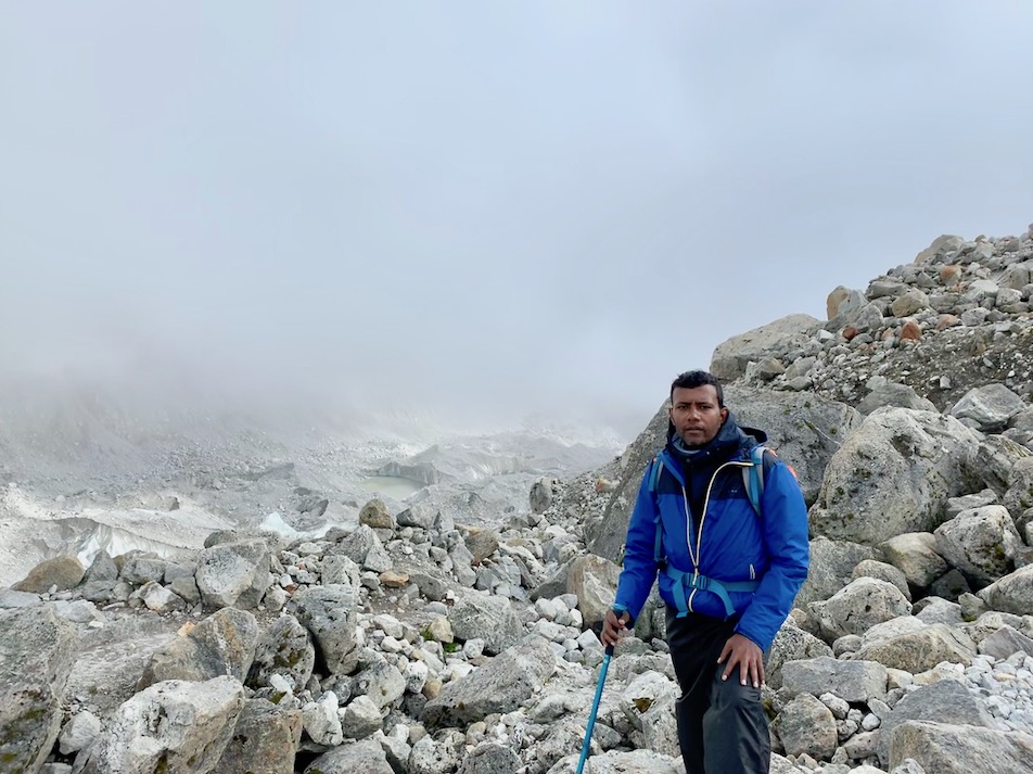

At the top the trail meandered along the edge of the glacial moraine and the huge Khumbu Glacier stretched out before us, tumbling down off of Everest somewhere ahead.
Eventually we climb up to the trekking village of GorakShep. But not before we crossed over the Changri Nup and Changri Shar Glacier that originates from the surrounding peaks of Pumori (7,161m) Changri (6,027m) and Chumbu (6,859m).
As we enter the village we got yet another but brief view of Everest.

Once everyone reached Gorakshep, and had their cup of tea, we had another round of discussions on change of plan. It was more than a discussion where we argued to cut short a night stay at Gorakshep. Reason was few of us were not properly acclimatised and it would not be safe to stay there for longer duration. But then that put others on pressing situation where they were asked to do both EBC and Kala Patthar summit (once or twice) in same day and then return with the group. Or if the group is splitted, then those who are staying back had to do some really fast walking while returning back from Gorakshep to catch up the group with a lead of one day.
Trekking indeed teaches teamwork and caring for the team. But to only a few, mortal ones.
As we go to bed, myself, Naveen and Nitesh decided to go up Kala patthar at wee hours of morning. Plan was that rest of the team go for EBC in the morning after breakfast, and we three catch them up at EBC after coming back from Kala patthar.
“Today is your day! Your mountain is waiting, So… get on your way!”
– Dr. Seuss
Succesfully completed Kala patthar (5,550 meters) and EBC back to back within 5 hours.
The night at Gorakshep was marked by intermittent sleep. Could be because of heaviness caused by altitude or it could be the excitement of two back to back climbs the next day. Whatever was reason, myself, Nitesh and Naveen got up at around 4:00 AM in the morning. Our guide from Nepal, Raj was not going to accompany us, as he has to take the rest of the group to EBC. We were at our own.
We got down from the tea house, in the open field, towards Kalapatthar. But we not able to find the route. Naveen, has trekked Kala patthar earlier, and was sure that he will find the route quickly. Before he could find it all by himself, we saw torch lights, some 200 meter far. They were another group of trekkers going to Kalapatthar. And there we got our way too.
The morning was quite cold, with heavy snowfall happening around. We were climbing up slowly in the dark, taking small deep breath break after every ~30 steps. Low oxygen, snowfall, darkness all these were making the movement more difficult. Our speed was reduced because of it. And at this speed there was fair chance that we may miss the sunrise at the summit. Sunrise? Yes, provided the weather clears out.
After an hour of walk, we came across another group taking a breathing break. We asked local guide going with the group about the summit. It’s just 20% completed, is what he said. What? Just 20%. We must increase the speed, or we were definitely going to miss sunrise. Nitesh thought it would be riskier to increase the speed. We will run out of our breath. He decided to return so that I can go in my speed.
By the time, Naveen was already around 150~200 meters ahead of me. (It could be even less. The climb is so steep that it takes around ~ 3 – 4 hours to climb just < 2 km). I decided to catch up with Naveen. I shouted his name, and told I am catching up, Nitesh is going back. I was not sure if he heard it, and I started walking fast. Quite fast. By the time I reached Naveen, I was panting. And I could see that coming from Naveen. He yelled at me in whatever possible words he could remember, for risking out the climb itself. It was not a smart thing to do. Indeed.
Nevertheless, had a sip or two of hot water, gathered some breath. Luckily the recovery time was not that bad. Both heart and breathing rates slowed down and we started to ascend further. All in the sea of snow.
We continued at same pace for quite some time, and we were really struggling. At least I was. It was indeed a strenuous climb up. Soon we saw the group (who past us while we were looking for path earlier today), near the summit. We thought they were returning back from the summit but, no. They were still climbing.
As we climbed we realised that the last stretch of 300 to 400 meters was extremely difficult. We are out of breath, can we stop?
How art thou out of breath when thou hast breath
To say to me that thou art out of breath?― William Shakespeare, Romeo and Juliet
There was no excuse and we started for the summit. And soon we were at the summit.


The excitement burst I went into, after reaching the summit can’t be explained. Naveen still get a good laugh explaining it to TrekNomads team. He calls it was a child like excitement. And I am not complaining.
Weather was still not clear, but we got fair view of Everest in patches.


We spent some time, enjoying the accomplishment. Breathing. Having the pair of eggs ( We had to skip full breakfast as we have to catch up with EBC group. So we carried the boiled eggs with us.) Took few pictures.


And started to descend for EBC.
And reached EBC without much of difficulty. Probably climbing up the summit, pumped up with more energy and re-charged us. But not before we crossed yak trains en route 🙂

And we could see the camps in near limit.

We were there, with the rest of the team. With our 🇮🇳
Mission accomplished!!!.

There we are – Unbreakable, team Oracle at EBC 🙂


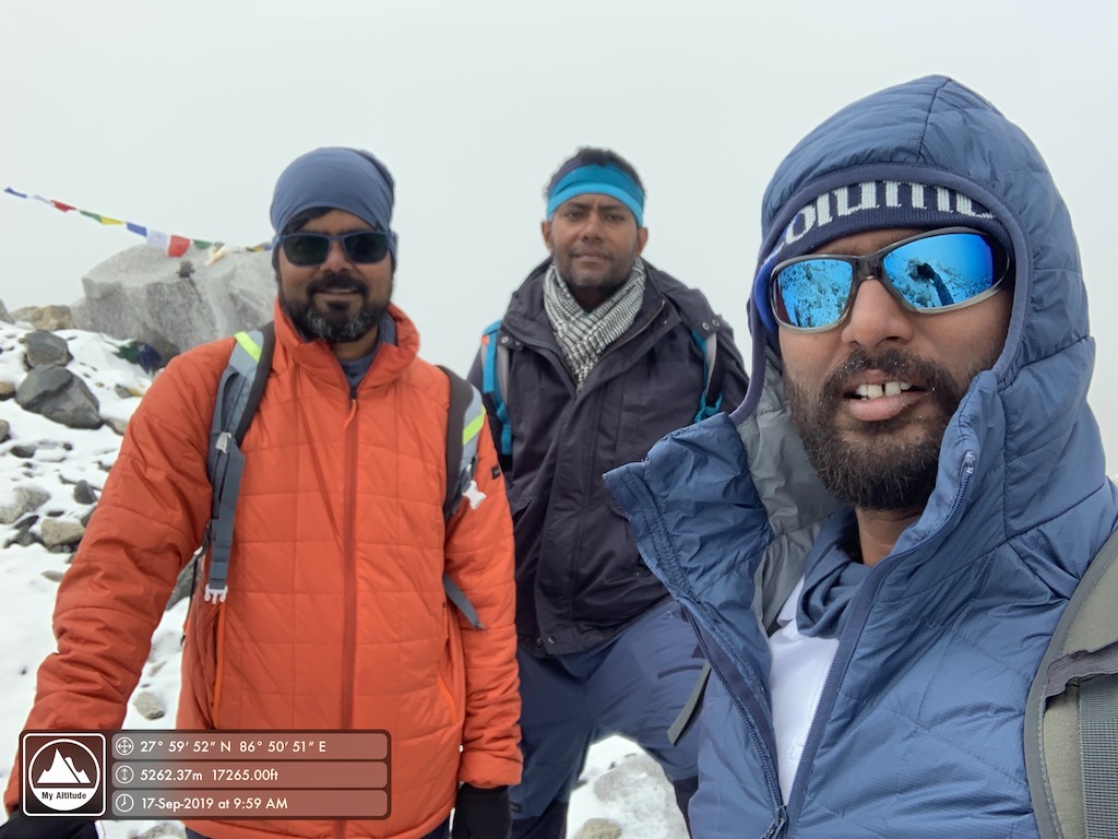
After spending some fair amount of time, and not before shaking up Khumbu Glacier, we started on our way back to Gorakshep.

As we return, we had a last relook at the Khumbu Glacier.
We reached to tea house, put our name flag on the rooftop after having lunch.

And left for Lobuche. (Deviation from original plan : Plan was to stay two nights at Gorakshep, but as I said earlier we changed it. For sake of everyone. And couldn’t get a chance to re-climb Kalapatthar for an evening view)

The Retreat – From Everest Base Camp:
We have been trekking for quite some time and were almost exhausted. Our guide told that no flights have taken off from Lukla to Kathmandu, for the last four days and there has been advisory on extreme weather for the next four days. We started thinking about our flight back from Lukla to Kathmandu. But it was still a couple of days before we reach Lukla.
Weather was indeed not awesome for trekking. It was snowing as we started from Lobuche.


Since we started from Lobuche and not from Gorekshep, we decided not to halt at Pangboche and Namche Bazar while returning. Instead we stopped at Tengboche and Jorsale.
In between our walk, we got patches of clear sky and good view of valley.

In route you pass a stone memorial and some good valley view (As the case has been for the entire trip)
We reached Tengboche which has a small beautiful monastery. It is good but it is as small as 1/10th of the size of Namdroling monastery en route to Madikeri from Bangalore.
BTW, don’t forget that climb back to Tengboche is quite steep in the end. And no way its an easy trip even when you are coming back.


We had some drinks at Tengboche Cafe, where we stayed and next morning we left for Jorsale via Namche.
Leaving Tengboche, we had a pit stop at Namche for lunch and moved towards Jorsale. We had some leisure time in between across the stream.


With a night stay at Jorsale, we started again.


And we reached Lukla, only to know that no flights are flying to Kathmandu.

While we waited for weather to open up and flights to resume, we met Martin, a German working in Dubai who had a connecting flight from Kathmandu to Dubai. He was very restless and exploring options to reach Kathmandu soon. We had a couple of reserve day, so we were ok. But bored.
Soon Martin found an option for helicopter ride to Kathmandu. Anushya, Pawan, Pratik and Priya left along with Martin for Kathmandu. While myself, Ibbu, Naveen and Nitesh were strolling around the Lukla airport we met an staff from Sita air, who said a helicopter was going to Ramechhap. The place is around 4 hours away from Kathmandu by road. We consulted Raj, and then took the helicopter to Ramechhap.
Soon it started raining and we couldn’t see anything from helicopter outside.

Let me tell you that never ever, I got so much scared in my life. Not even on days when I forgot to do homework of my Sanskrit teacher.
It was almost zero visibility, with chopper flying between peaks and you can’t see the peak ahead.
Nevertheless, we reached Ramechhap safely and then to Kathmandu.
Before I move to the concluding part, let me remind. Let the fire in you, continue to burn.

It is not the mountain we conquer, but ourselves.
Edmund Hillary
And it’s so apt. We are back after 13 rigorous days. Victorious, yet humbled. A friend of mine asked, what keeps you going? Well my reply was leave from office 🙂
Jokes apart, for beginners, just don’t go for trekking because you have to do some activity to detox your self. Mountaineering is not the only thing. Weigh out your interests, and then decide. As the following quotes suggest, ask yourself : W H Y?
Climb the mountain not to plant your flag, but to embrace the challenge, enjoy the air and behold the view. Climb it so you can see the world, not so the world can see you.”
― David McCullough Jr.
And then prepare well. Do not stress on body building. Or rather ONLY body building as a part of preparation. Build on endurance. Go for either of cycling, swimming or running. Whichever you like doing.
Back home, my partner in preparation, my cycle got the prayer flag.

Me and Nitesh are back to badminton in office as well.

And I sign off with this poem from movie Zindagi na Milegi Dobara.
